
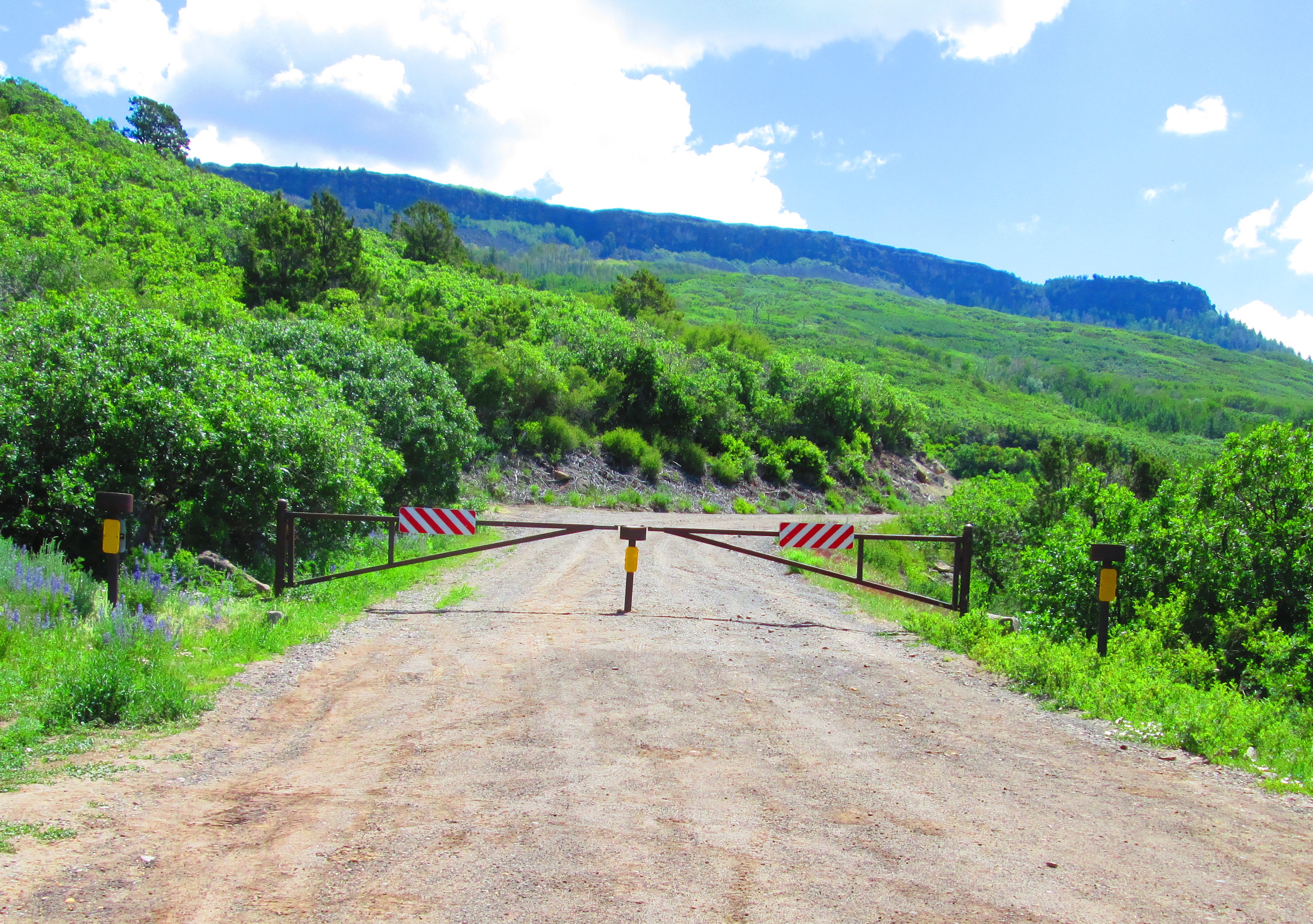
July 1: hey: a good indication that the bike-ride ahead should be mostly devoid of traffick! The ‘gate’ 5 miles down from the top is not conducive to motor-vehicular modes of travel.
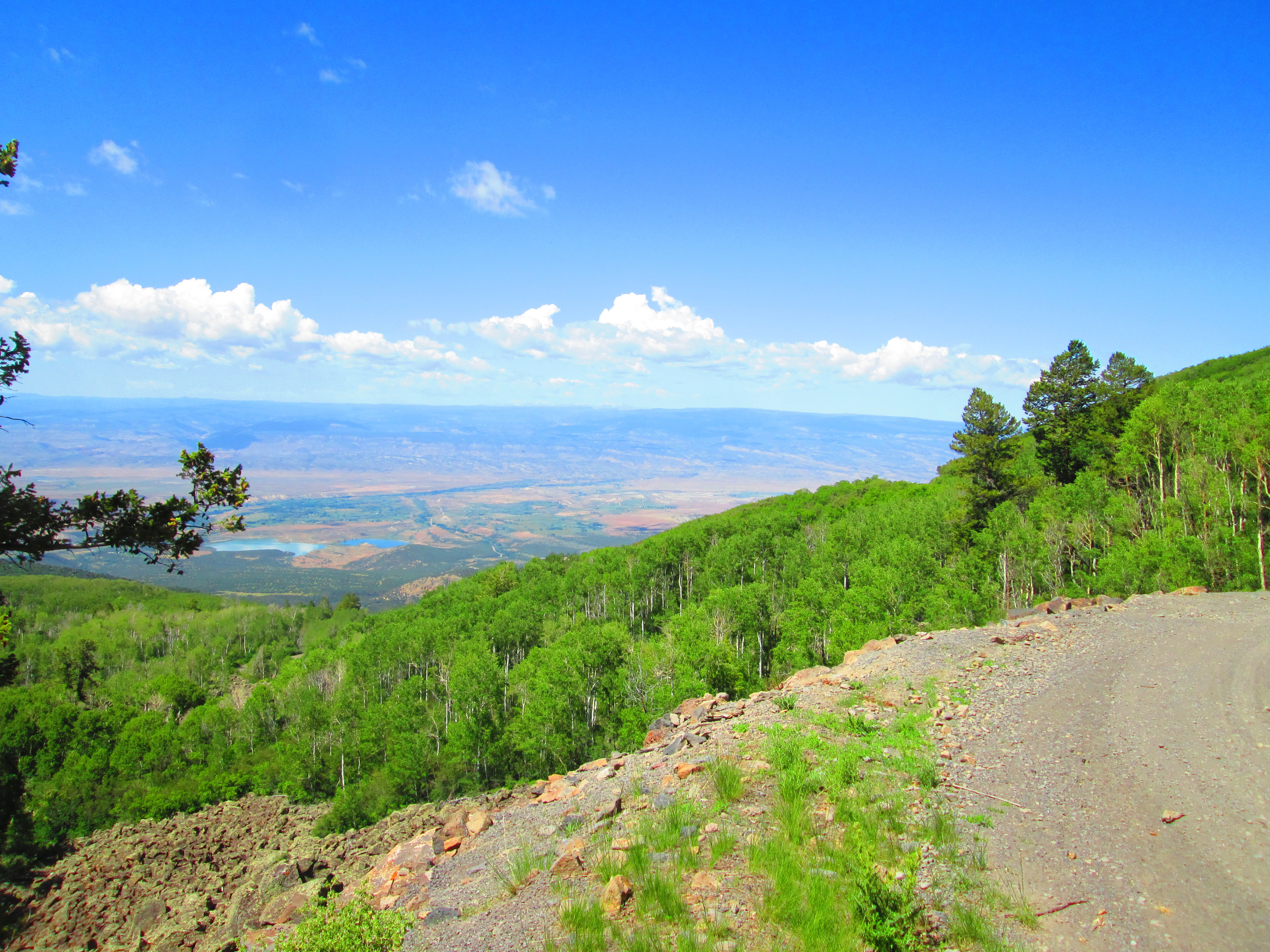
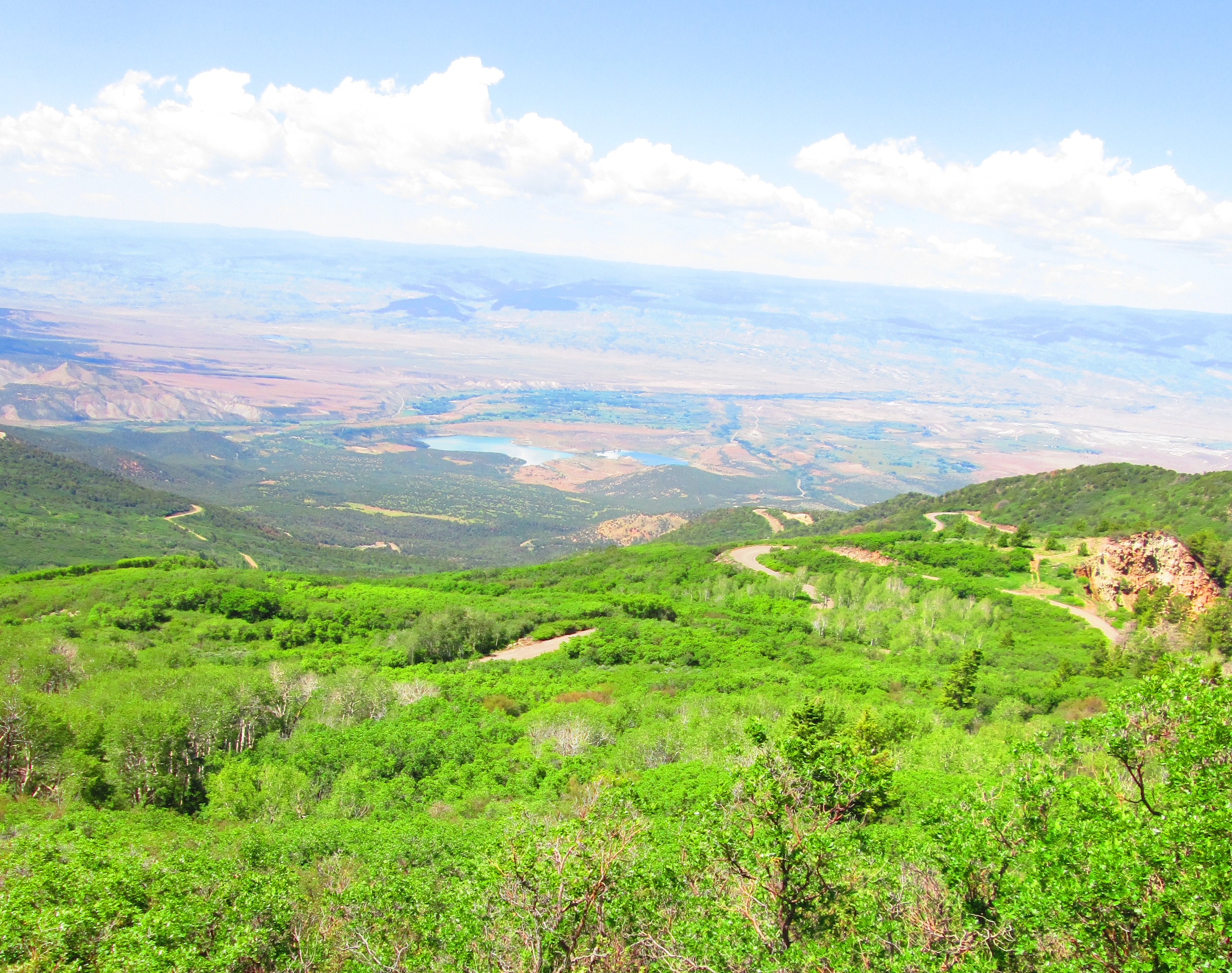
I pedal my weary way uphill, but it’s an exalting chore, as one can peruse the views. Just over the horizon is You-Taw. We’re looking down at the city of Grand Junction’s water supply, Juniata Reservoir, to the left, with the Gunnison River Valley just beyond, and the Uncompahgre Uplift in the distance.
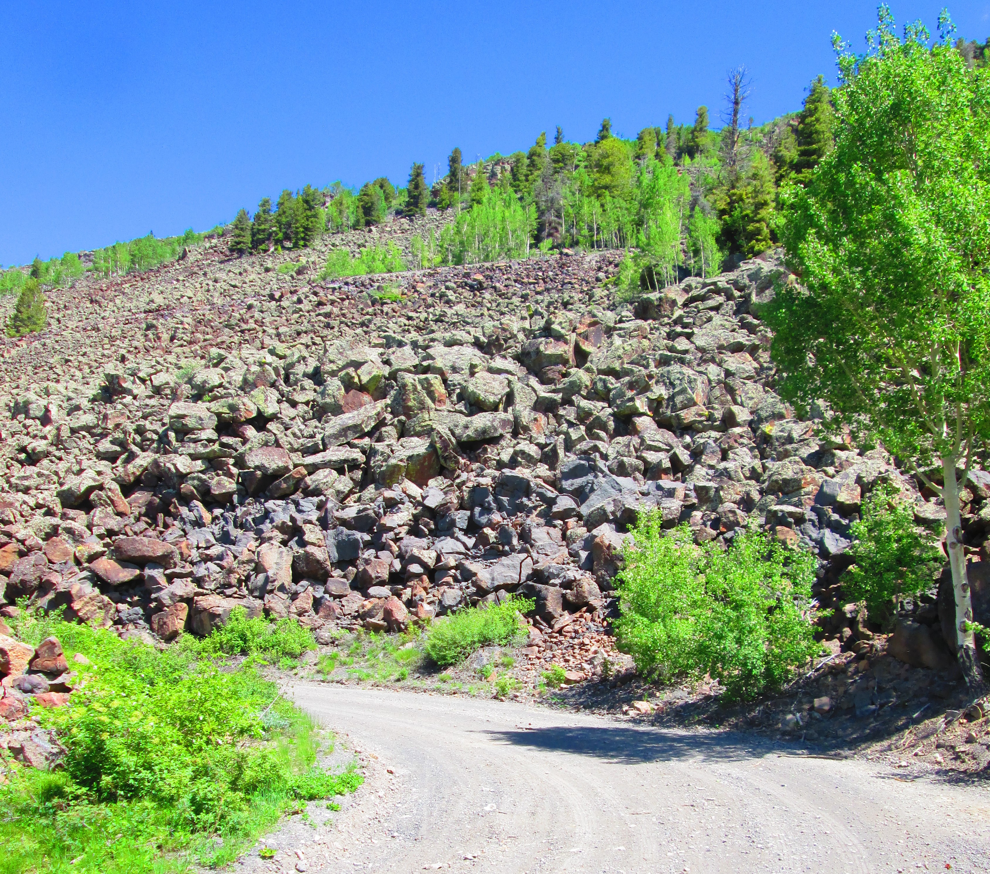
Cuttin’ through scree, more and more of that as I ascend.
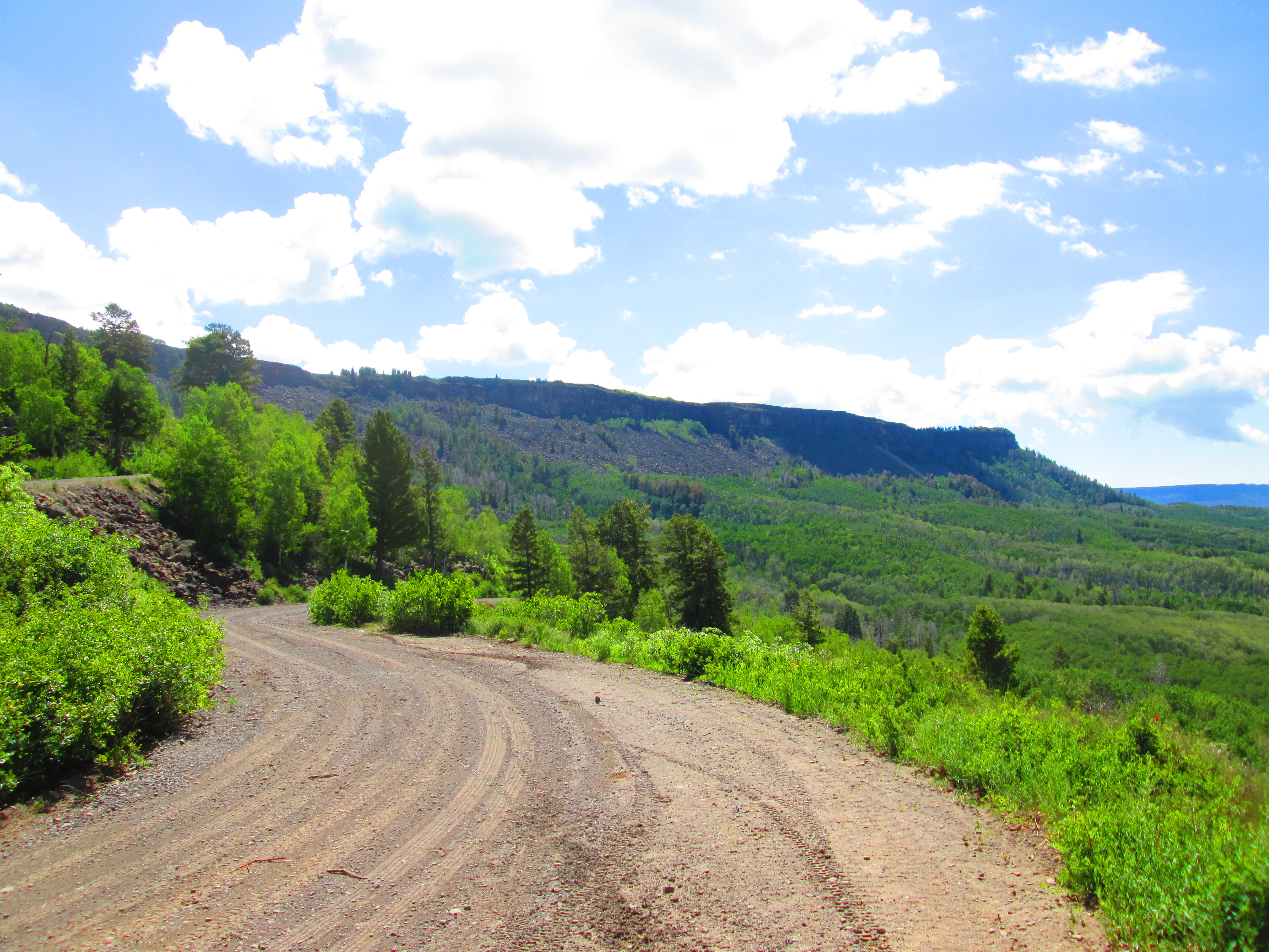
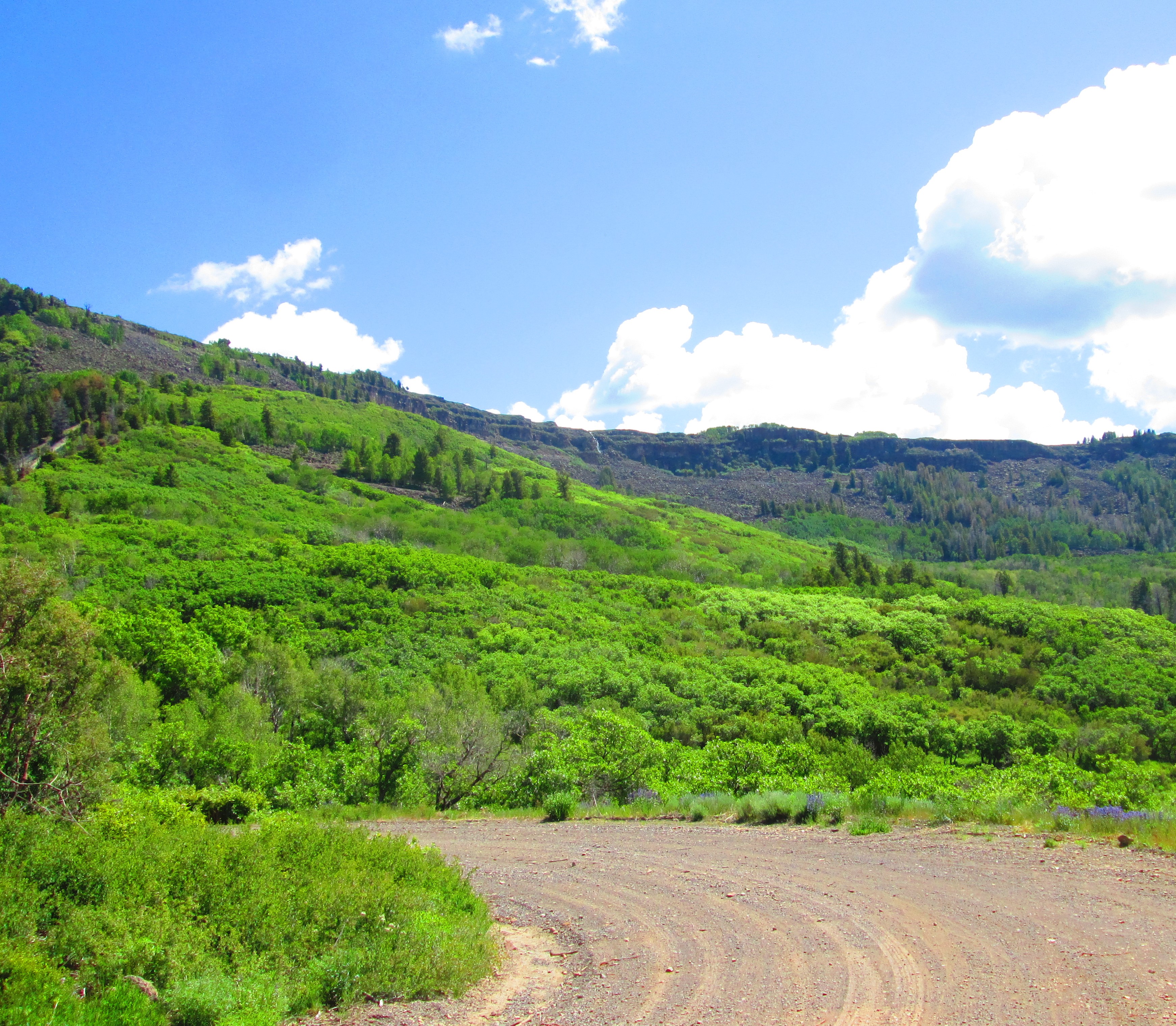
Lookin’ over to the south, at the southern part of the Grand Mesa, the Flowing Park arm.
Another glance down at Juniata, but also to ponder/meditate/revel on the switchbacks we’ve struggled up.
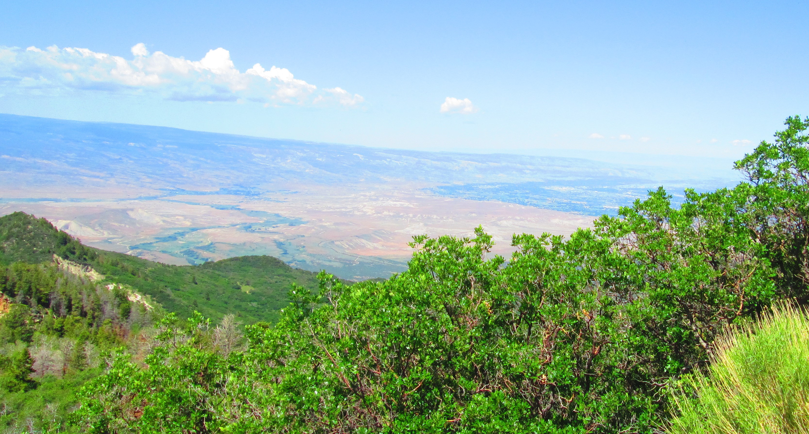
This is to show the relatively narrow “swath of green” the settled area of the Grand Valley is in. Note the greenish band bending in a curve to the right … practically ALL of the ‘settled’/residential areas of our not-quite-metropolis is contained therein.
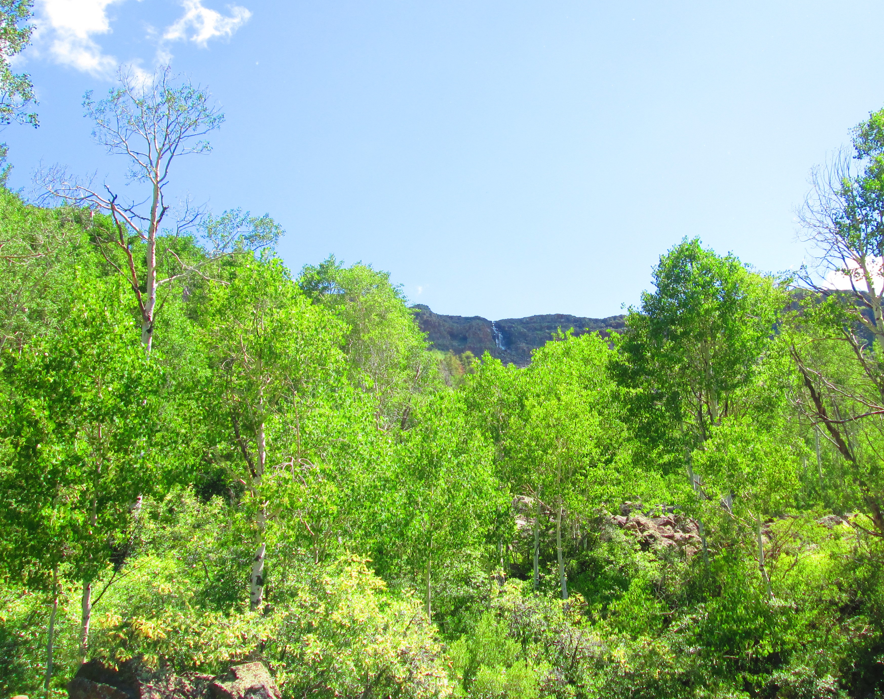
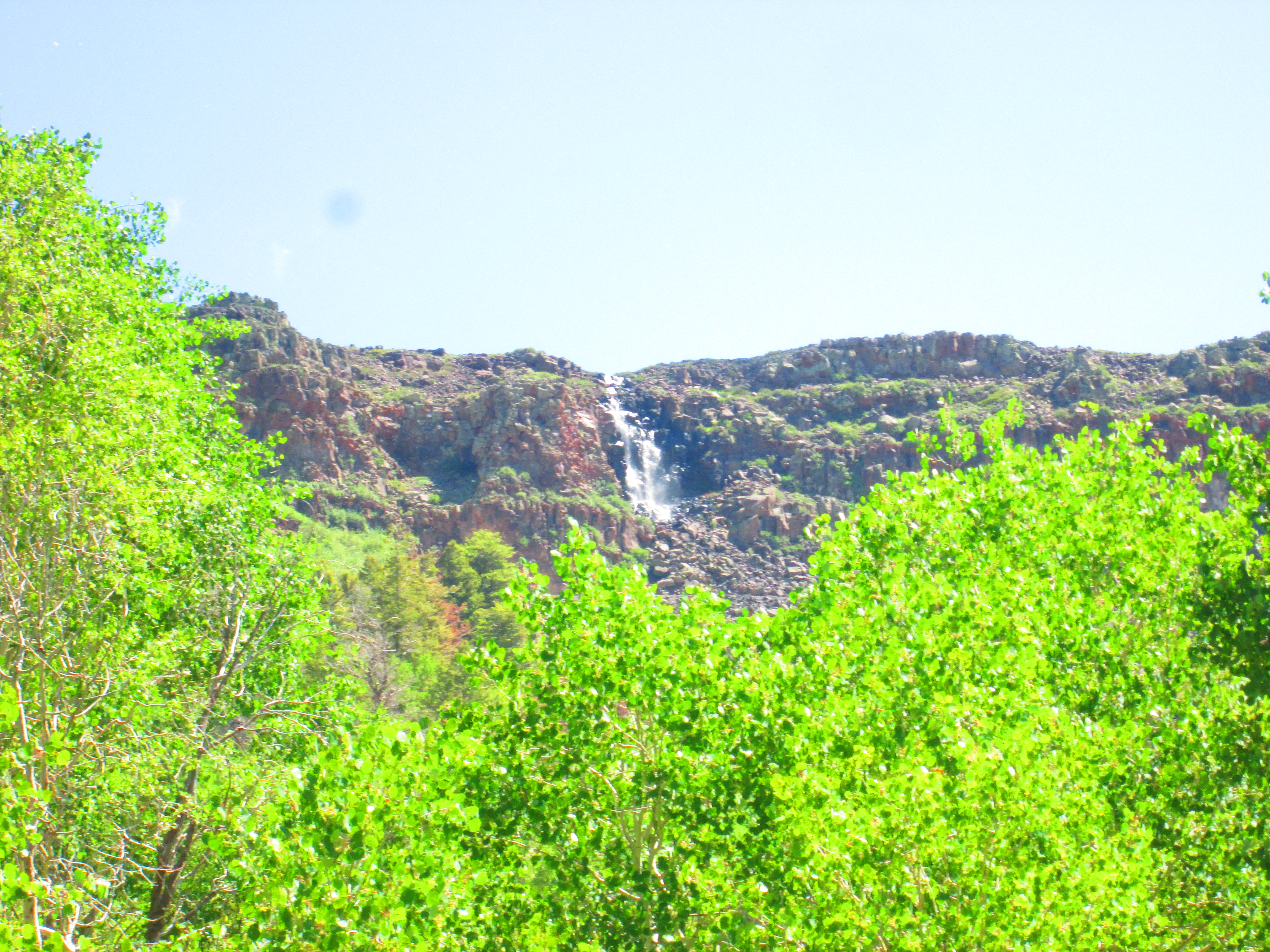
I could hear the distant not-quite-roar of the Land’s End Waterfall, a couple miles away.
I didn’t quite make it to the very top of Land’s End, but stopped a bit (maybe one mile) short. Next time I’ll get to the top, no matter what.
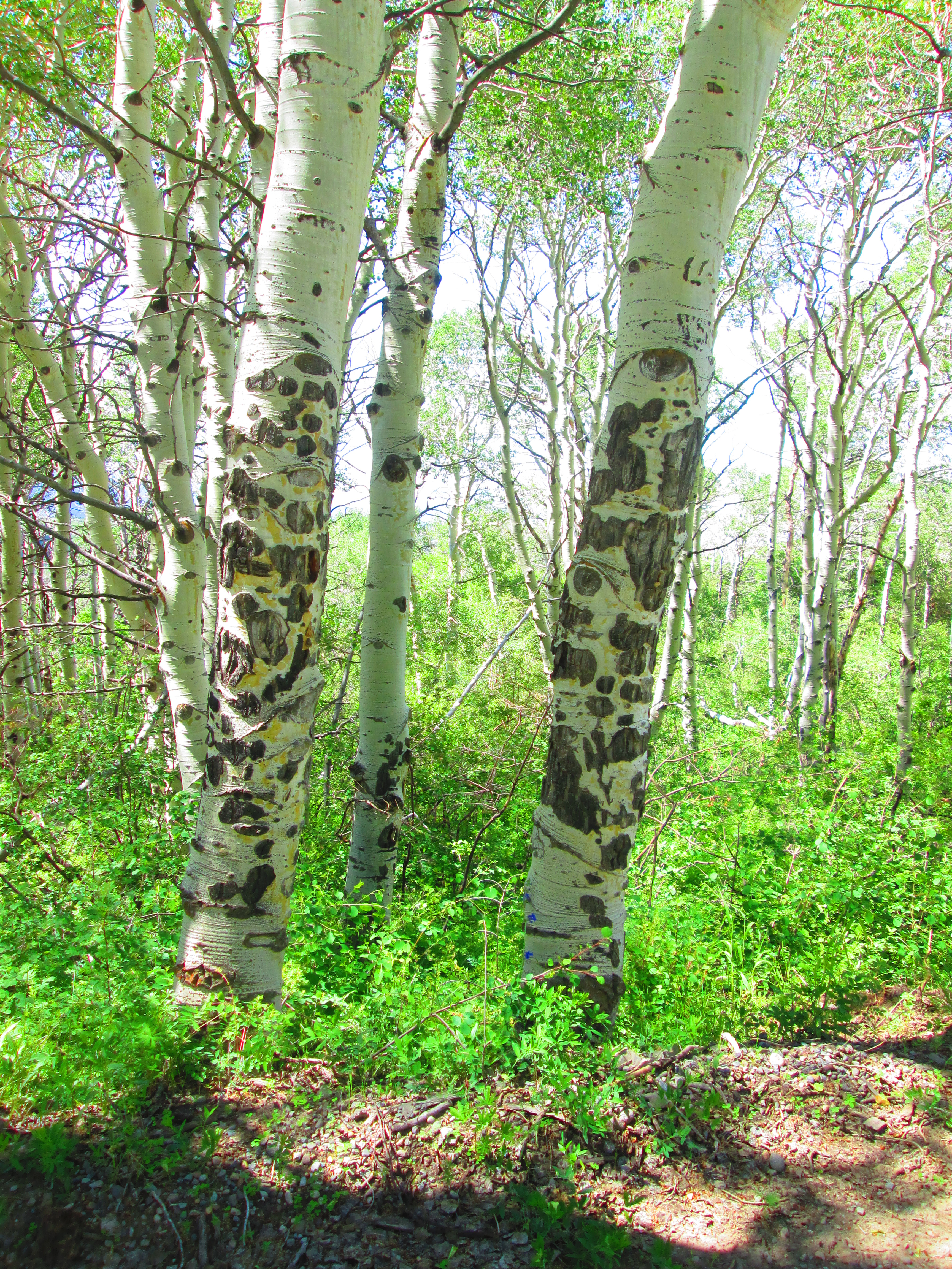
The aspen-tree patterns gave me pause to consider that perhaps the fairies, the forest-spirits, were leaving messages. About what? At times I felt I could almost read the runes ~
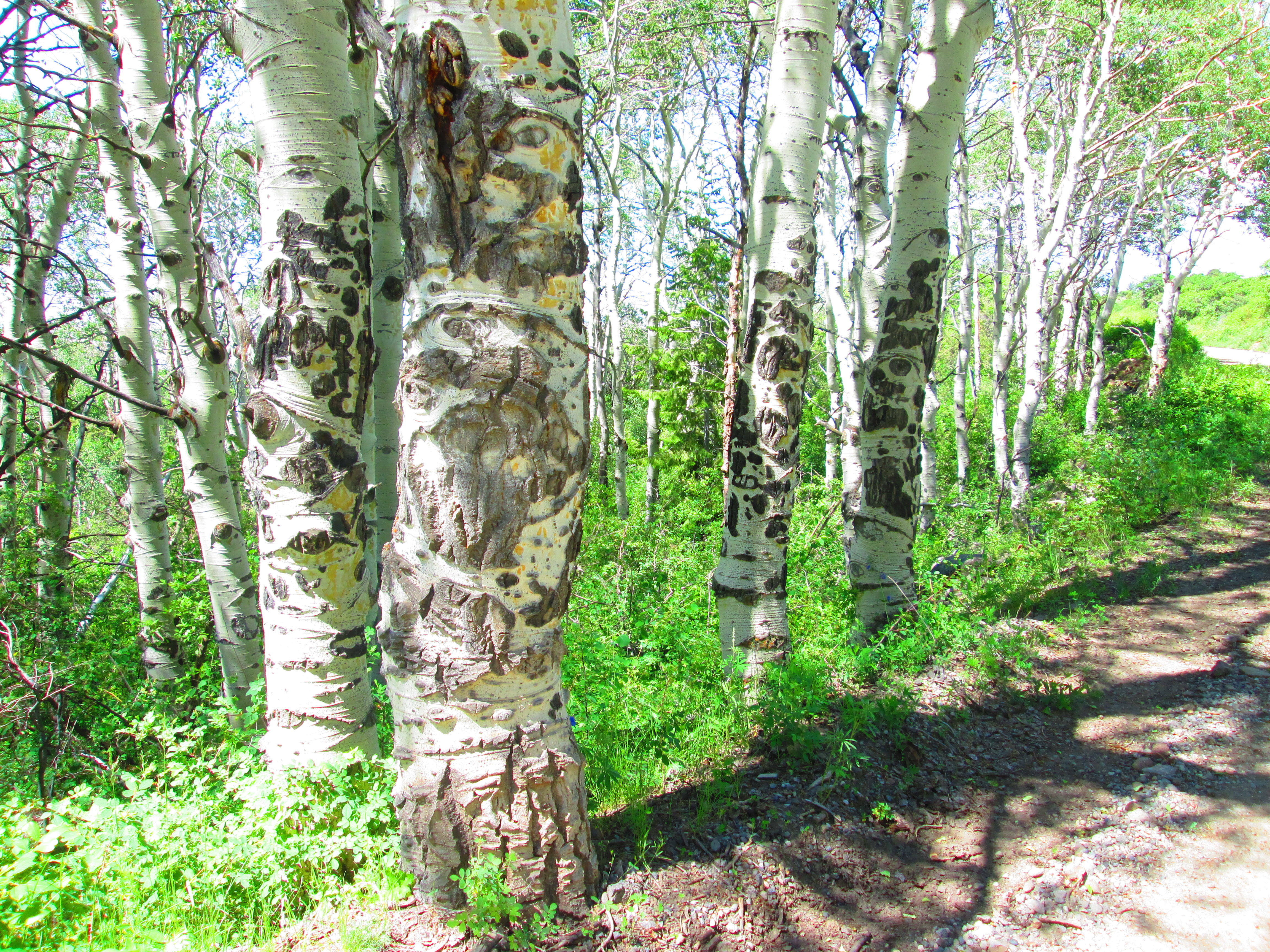
Egyptian hierglyphyx? Runes from something more ancient and outside “our normal” realm of perception?

Bumping along back down, I turned for a last glimpse of the waterfall ~
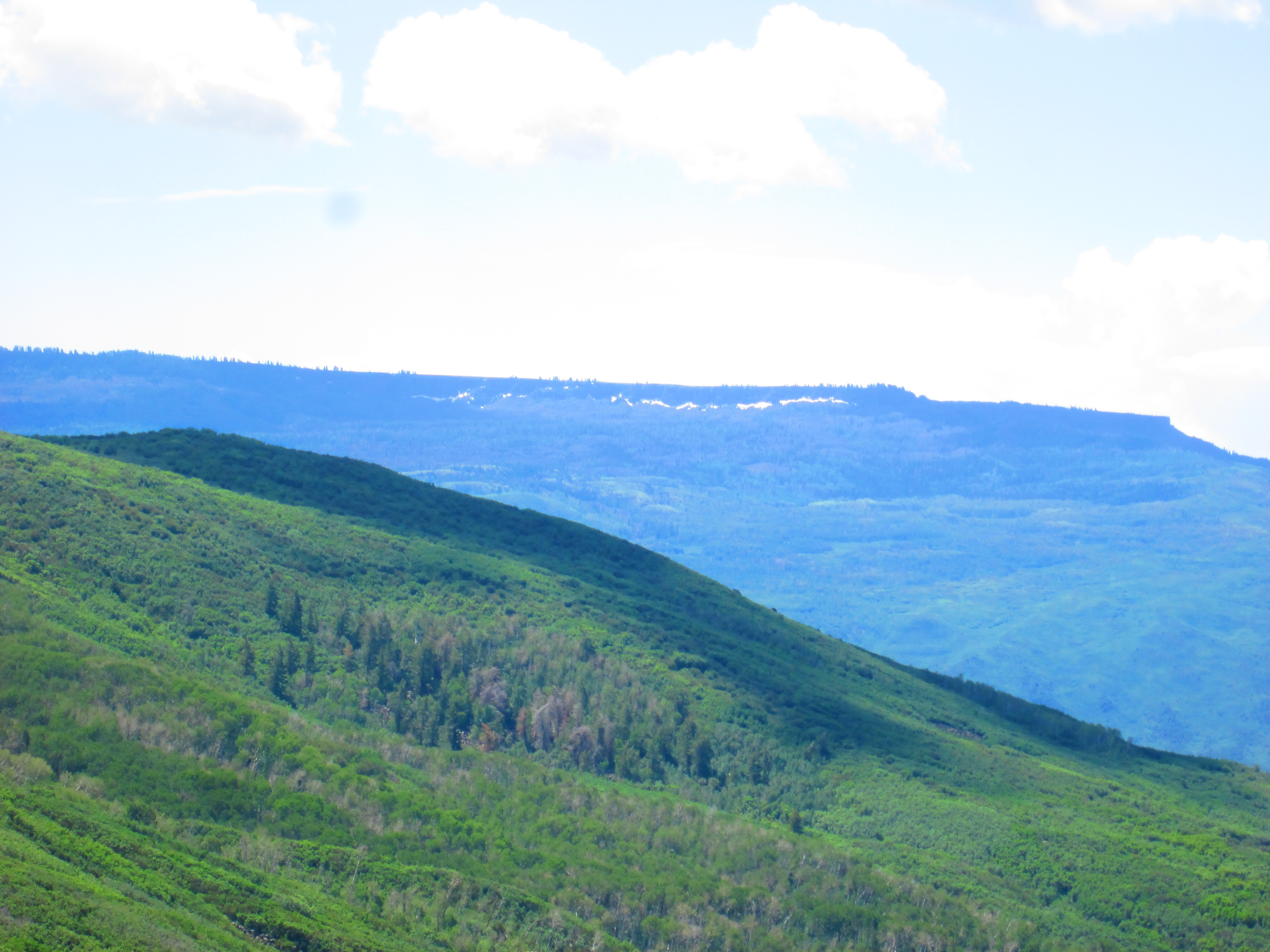
and also noting the last hold-outs of winter (the white stuff) across on the Flowing Park arm of the Mesa.
 You’ll be glad I didn’t take a pixure of bear-scat! Not just the occasional pile on the road, but fairly frequent ~

I’m glad you didn’t run into any producers of said scat. What a climb! I know that road well and you truly DID WELL!
P.S. The going down is the BEST part, wind in the hair and all that. Still, the going up does give you some beautiful scenery to start at as you rest.
LikeLiked by 2 people
keep in mind I started just 5-miles down from the top. I know of many cyclists (and the occasional runner) whom go ALL the way up (& down). one day last year Betty and I were driving to begin riding up on the top, and many dozens of CMU Road cyclists had ridden up and back !
LikeLiked by 1 person
They are MUCH younger….you know.
LikeLiked by 1 person
Amazing photos!
LikeLiked by 1 person
sorta easy if what you’re takin’ pix of is amazing. imagine if I had a REAL camera!
LikeLiked by 1 person
Omg yes!
LikeLiked by 1 person
Hello Betunada.
You presented a very beautiful landscape on your biking tour. I have also a real camera, but nowadays I use and carry with me my smart phone. Phones have developed during last years very much. This year I have shown many posts taken by my phone. Thank You for this great post.
Have a good day!
LikeLiked by 1 person